UN
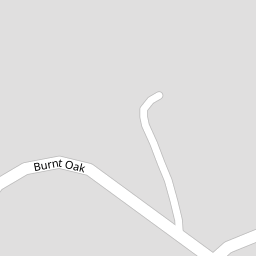
5 Burnt Oak
£ 467,500
Description
We don't have a Description for this property.
- Bedrooms
- 4
- Bathrooms
- 0

Leaflet © OpenStreetMap contributors
The heatmap indicates the level of crime in the area. The color of the heatmap indicates the crime severity and recency.
Metrics Year-on-Year
- Average area value
- 251,538.00 £Increased by 21.55 %
- Average area rental value
- 754.00 £/moDecreased by 18.22 %
- Est rental Yield
- 3.60 %Decreased by 32.71 %
- Crime Rate
- 3.00 %Unchanged by 0.00 %
from 206,948.00 £
from 922.00 £/mo
from 5.35 %
from 3.00 %
Nearby Schools
| Name | Type | Ofsted | Distance |
|---|---|---|---|
| Rednock School | Foundation School | Good | 0.50 KM |
| Cam Everlands Primary School | Community School | Good | 1.18 KM |
| Cam Hopton Church Of England Primary School | Voluntary Aided School | Good | 1.41 KM |
| Peak Academy | Academy Special Sponsor Led | Serious Weaknesses | 1.54 KM |
| Dursley Church Of England Primary Academy | Academy Sponsor Led | Good | 2.16 KM |
Images
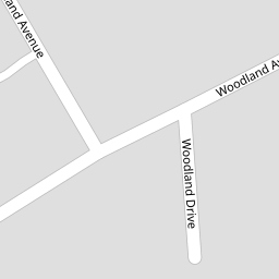
Nearby Streets
| Name | Average Price | Average Sqft | Distance |
|---|---|---|---|
| Woodland Drive | £ 548,000 | 0 | 0.00 KM |
| Woodland Avenue | £ 563,738 | 0 | 0.00 KM |
| Cedar Drive | £ 352,500 | 0 | 0.00 KM |
| Jubilee Road | £ 0 | 0 | 0.00 KM |
| Five Acres | £ 460,000 | 0 | 0.00 KM |
Nearby Transport
| Name | NLC | TLC | Distance |
|---|---|---|---|
| Cam And Dursley | 3238 | CDU | 3.68 KM |
Nearby Listings
| Address | Price | Type | Score | Distance |
|---|---|---|---|---|
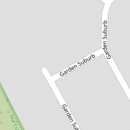
| Garden Suburb, Dursley | £ 245,000 | BUY | 6 / 10 | 0.15 KM |
| 49 Garden SuburbDursleyGlos | £ 245,000 | BUY | 5 / 10 | 0.16 KM |
| Woodland Avenue, Dursley, Gloucestershire, GL11 | £ 548,000 | BUY | 7 / 10 | 0.16 KM |
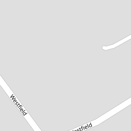
| Westfield, Dursley, GL11 | £ 575,000 | BUY | Unknown | 0.20 KM |
| Westfield, Dursley, Gloucestershire, GL11 | £ 400,000 | BUY | 6 / 10 | 0.20 KM |
Nearby Properties
| Address | Price | Distance |
|---|---|---|
| 18 Burnt Oak | £ 330,000 | 0.00 KM |
| 3 Burnt Oak | £ 345,000 | 0.00 KM |
| 5 Burnt Oak | £ 467,500 | 0.00 KM |
| 14 Burnt Oak | £ 371,500 | 0.00 KM |
| 2 Burnt Oak | £ 235,000 | 0.00 KM |